




 UN
UN 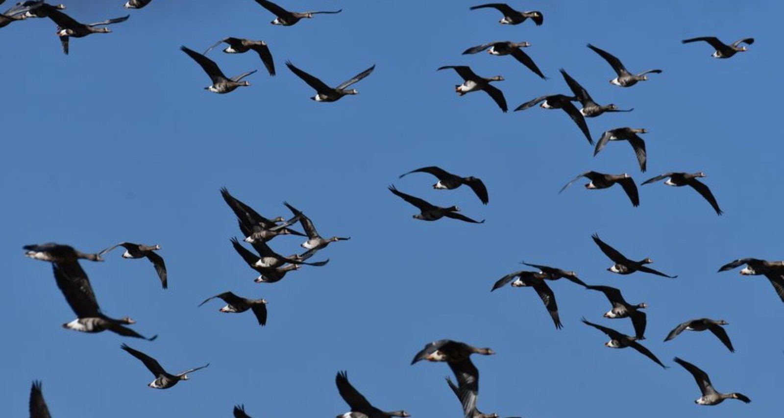
On a humid Thursday morning in Oklahoma, ornithologists gathered at the National Weather Center to review the latest migration maps. What once appeared as dense, indistinct radar ‘blobs’ are now being parsed into individual bird species, thanks to a suite of AI-powered tools deployed across the U.S. this summer.
For decades, biologists and policy researchers tracking avian migration across North America have relied on weather radar, a system designed for meteorology rather than ecology. The limitation: millions of birds on the move showed up as amorphous shapes, offering little information beyond sheer numbers and direction. Species, age, and even flock makeup remained a mystery—until artificial intelligence entered the field.
This season, a partnership involving the Cornell Lab of Ornithology and the U.S. National Oceanic and Atmospheric Administration (NOAA) has piloted machine learning models capable of analyzing radar returns in near real-time. Early results suggest that the AI system is correctly tagging up to 85% of radar-detected flocks by species, a marked improvement over traditional methods. The technology is already being used to inform conservation measures in high-traffic flyways, including the Central and Mississippi corridors.
Data from spring and early summer 2026 reveals new migration patterns for at-risk populations, including the eastern wood-pewee and the cerulean warbler. Researchers are using these insights to recommend targeted habitat protections, with updated management plans expected to reach federal agencies and major NGOs by the end of this season.
While the rollout has been lauded for supporting SDG 15 (Life on Land), some environmental organizations remain cautious. The American Bird Conservancy has called for transparency in AI model training datasets and for public release of migration maps by January 2027. As late-summer migration peaks under record heat, field teams are watching closely to see if the promised gains in species identification will be sustained or if the technology risks overfitting to regional weather conditions.
Frequently Asked Questions
How is AI being used to analyze bird migration in the U.S.?
AI-powered tools are analyzing weather radar data to identify migrating bird species in near real-time, allowing researchers to tag up to 85% of radar-detected flocks by species.
Which organizations are involved in developing the AI models for bird migration tracking?
The Cornell Lab of Ornithology and the U.S. National Oceanic and Atmospheric Administration (NOAA) are leading the development and deployment of these AI models.
What new insights have AI models provided about at-risk bird species?
AI analysis has revealed new migration patterns for at-risk species such as the eastern wood-pewee and cerulean warbler, informing targeted habitat protections.
When will updated habitat management plans based on AI insights be available?
Updated habitat management plans are expected to reach federal agencies and NGOs by the end of the 2026 migration season.
What concerns have been raised about the use of AI in bird migration tracking?
The American Bird Conservancy has requested transparency in AI training datasets and public release of migration maps by January 2027, expressing caution about the technology’s rollout.